Brunswick Valley Flood History...
Maps
Latest
Lazer Survey Aerial Map December 2007
Click here North Ocean Shores to Wooyung
These maps were compiled over the past
30 years to create a historical account of local land information
which
will
prove
the exisitence of natural outlets to the ocean.
Jim Mangleson
click
on icon above
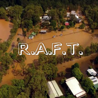
Latest Flood Information
as at April, 2017
RESOURCE MATERIAL
Attachments
PDF Files
Flood
Map 1
Satellite Google Earth
2005
Flood
Map 2
Historcial Map
of Outlets
Flood
Map 3
Survey may of
Wooyung
1887
Flood
Story 12
Cane drainage map
of Wooyung
Flood
Story 36
Wooyung Tidal Map
Current
LEP
1988
Therefore we accepts no responsibility for any loss or damages which may occur to any persons as a result of information obtained from this site.